We don’t just provide drone services. We deliver actionable aerial data that supports real-world outcomes.
Sectors We Specialize In
FAQ
Why should we hire your firm instead of a larger company?
We offer the expertise and reliability of a larger company with the flexibility, speed, and personal attention of a specialized team. Our clients appreciate direct communication, fast turnaround, and customized deliverables without unnecessary overhead.
Is drone data really accurate enough for commercial or industrial work?
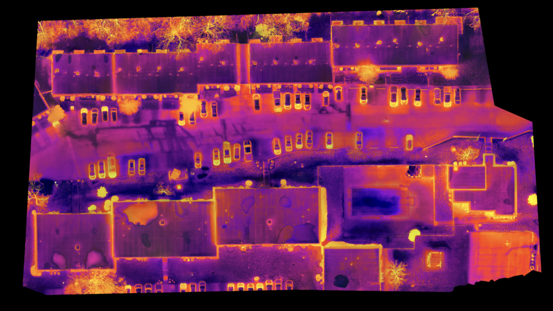
Yes. We use enterprise-grade drones with high-precision sensors, including RTK and thermal imaging, to ensure accurate and dependable results. Our workflows are designed to meet industry standards and provide data you can act on with confidence.
What’s your typical turnaround time?
Most projects are delivered within 48 hours. We provide everything from high-resolution maps and inspection photos to thermal imagery and annotated reports—tailored to your project’s scope and goals.
Are drone services worth the investment?
Absolutely. Our services help reduce downtime, catch problems early, and eliminate unnecessary site visits—saving both time and money. Many of our clients find that drone insights pay for themselves on the first project.
Is your team certified and insured?
Yes. We are fully insured and Part 107 certified by the FAA. Our team holds additional certifications in thermography, construction safety, and emergency response—ensuring we operate safely and professionally on every jobsite.
How will we receive the data?
We deliver files via Google Drive, hard drive, or your preferred method. Whether you need orthomosaic maps, 3D models, thermal reports, or raw images, we tailor delivery to your workflow and make sure it’s easy to use.
What types of projects do you support with commercial drone services?
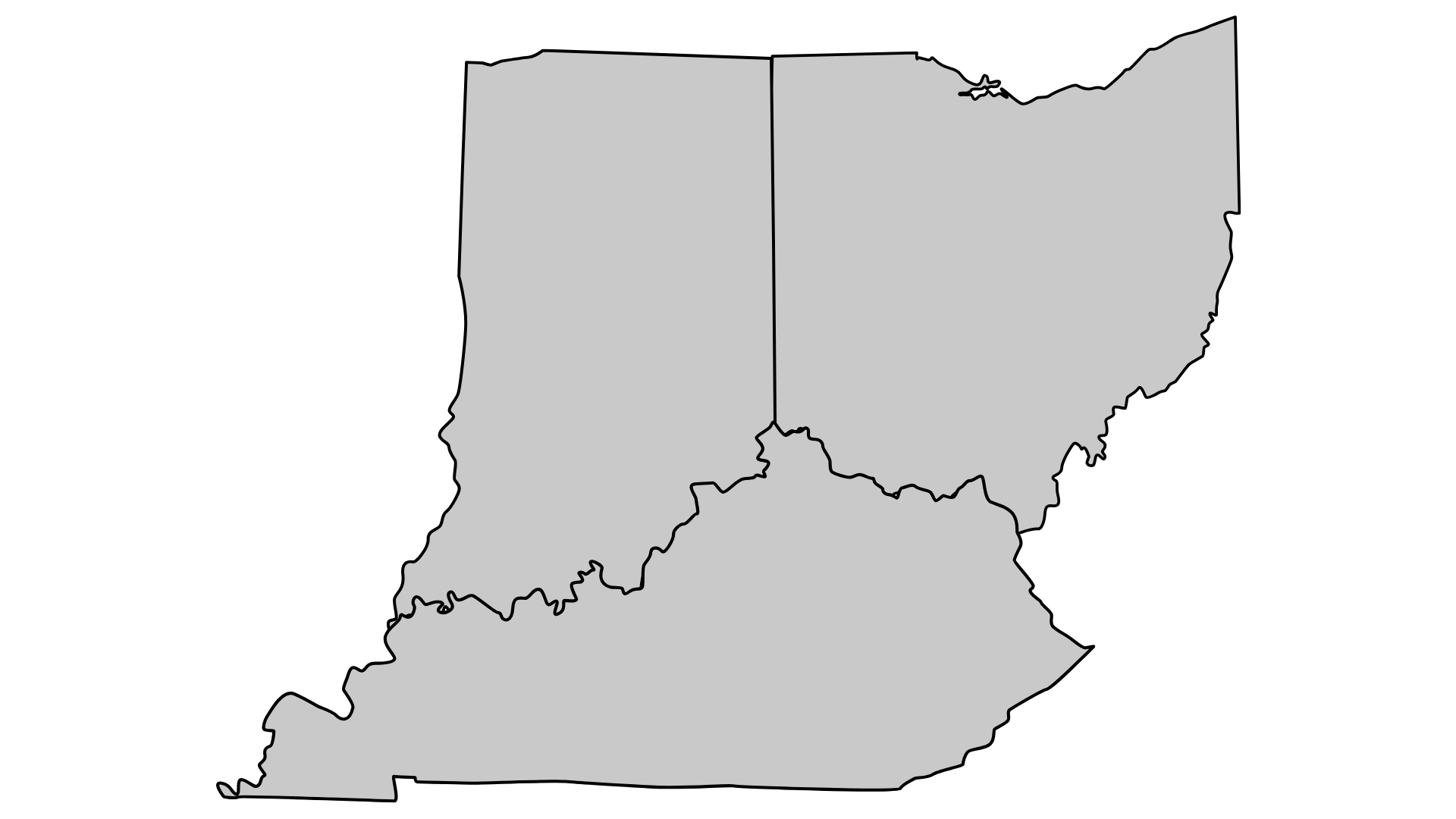
We support a wide range of commercial, industrial, and construction projects, including site planning, progress tracking, inspections, mapping, and asset documentation. Our drone services are commonly used by contractors, property owners, engineers, and facility managers throughout Ohio, Kentucky, and Indiana.
What are construction drone services used for?
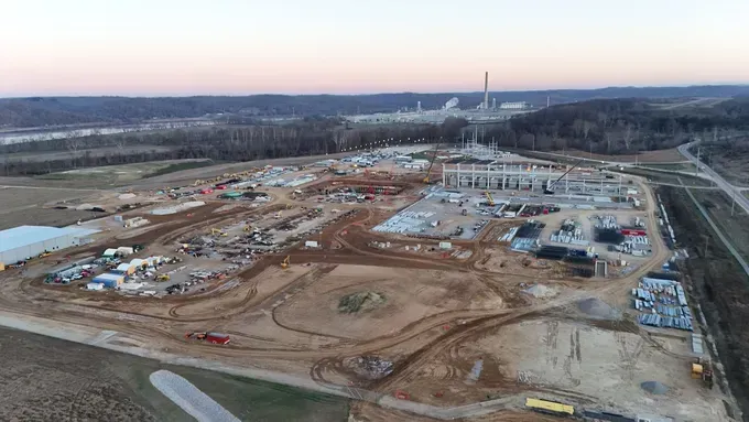
Construction drone services are used for site progress documentation, inspections, earthwork measurements, volumetric calculations, and project reporting. Drone data helps teams improve visibility, reduce site visits, enhance safety, and make faster, more informed decisions throughout the construction lifecycle.
How accurate is drone mapping and inspection data?
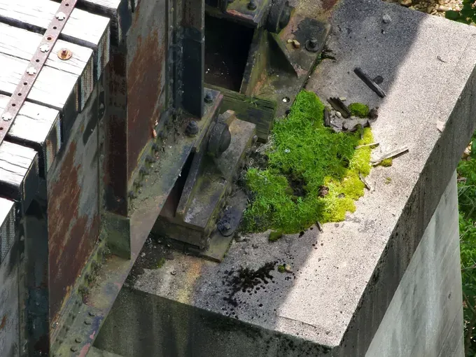
Our drone mapping and inspection data is highly accurate and suitable for commercial and industrial applications. Using professional-grade equipment and experienced pilots, we deliver consistent, repeatable data that meets project and reporting requirements.
What deliverables do you provide after a drone project?
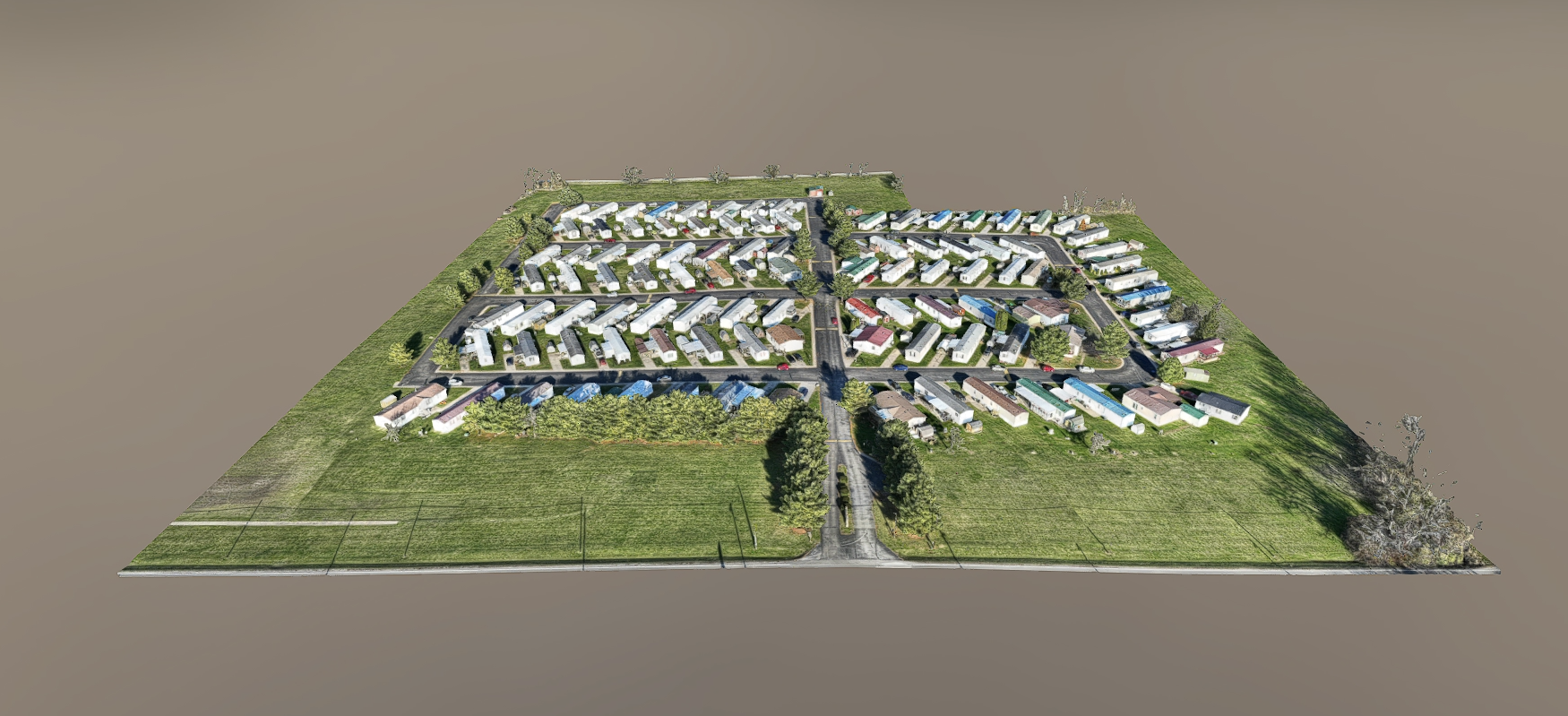
Deliverables are customized to your needs and may include high-resolution imagery, orthomosaic maps, 3D models, thermal reports, annotated inspection imagery, structured datasets, or raw data files. We provide data that integrates easily into your existing workflows.
Are your drone pilots certified and insured?
Yes. All of our drone operations are conducted by FAA Part 107 certified pilots, and we are fully insured for commercial drone work. We also manage airspace authorization and safety planning to ensure compliant operations.
How quickly can you complete a drone inspection or mapping project?
Turnaround times vary by project scope, but most commercial drone inspections and mapping projects are completed quickly and efficiently, with deliverables often provided within days. We also support time-sensitive and ongoing construction projects.
Do you work directly with clients or subcontract the work?
We work directly with our clients and do not rely on broker platforms or multiple layers of subcontractors. This ensures clear communication, consistent quality, faster turnaround times, and full accountability from start to finish.
How is pricing determined for commercial drone services?
Pricing is based on factors such as project size, location, deliverables, and scope of work. We provide clear, custom quotes so you know exactly what you’re getting and how the data will support your project goals.
How do I get started with a drone project?
Getting started is simple. Contact us with details about your project, and our team will review your needs, recommend the right drone solution, and provide a clear next-step plan to move forward.
Still have questions?
Feel free to reach out anytime.
Request a Commercial Drone Services Quote Today
Contact us to speak directly with our team about inspections, mapping, and other drone services.
