Mapping
Mapping Services in Leesburg, OH
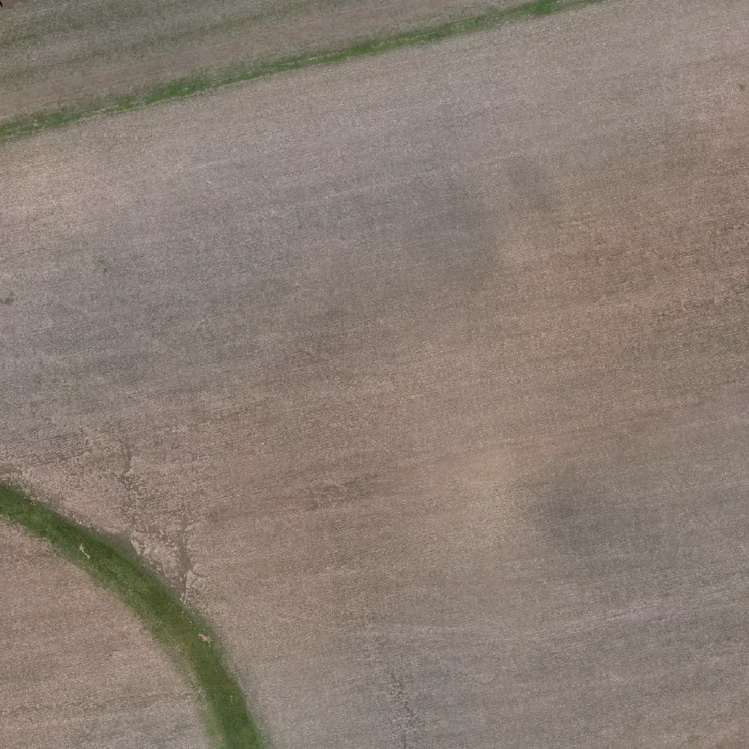
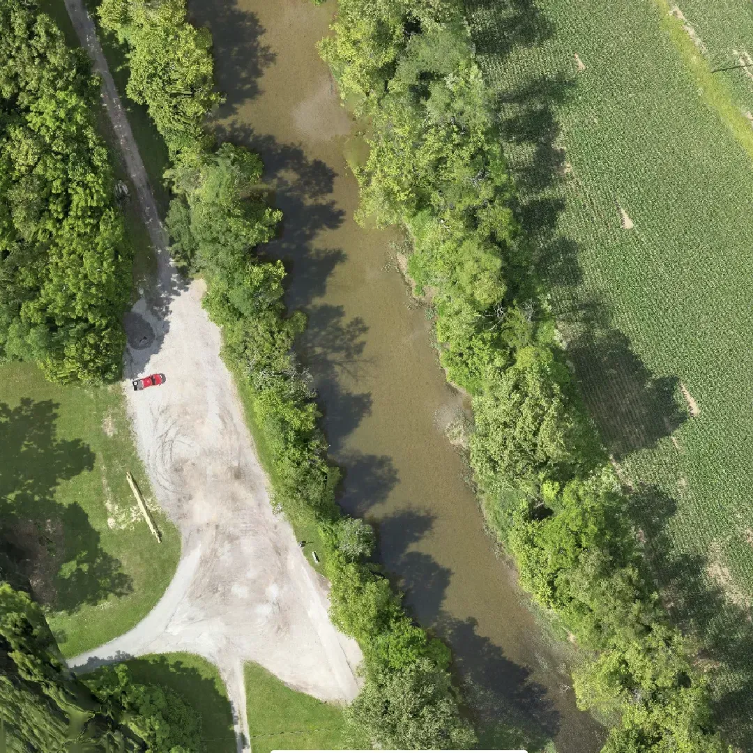
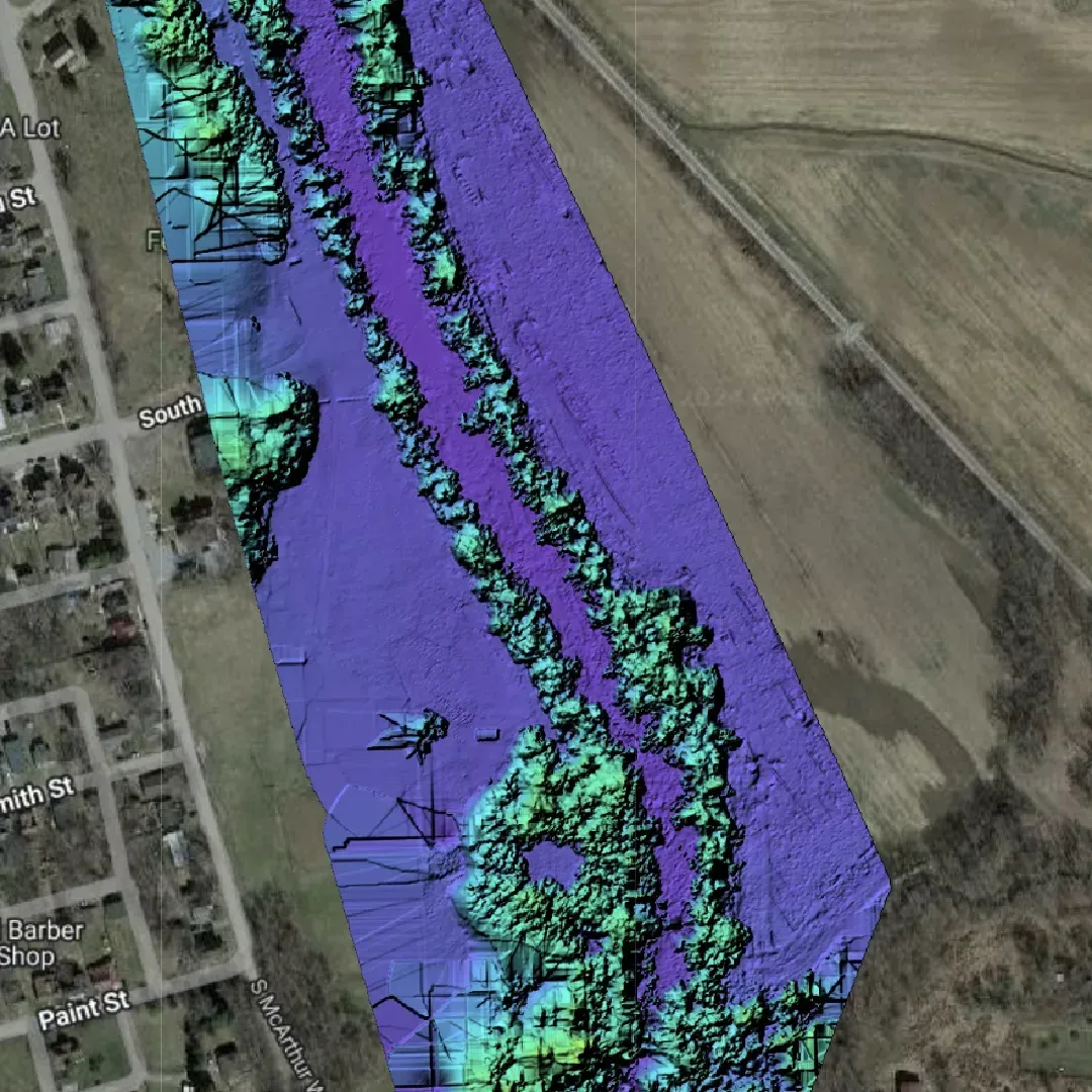
Our advanced mapping services offer precise and detailed imagery, enabling accurate analysis and planning for a wide range of industries. Utilizing the latest in cutting-edge technology, we capture high-resolution aerial images that provide unmatched clarity and detail. These images support various applications, from disaster assessment and construction planning to environmental monitoring and infrastructure management. Whether you need detailed 3D models for virtual reality projects or precise mapping for utility solar installations, our advanced mapping services deliver the quality and accuracy you need. Our advanced mapping services deliver the quality and accuracy you need, making 1st Choice Aerials the go-to provider for all your aerial mapping needs. Experience the difference our expertise and technology can make for your project.
- Disaster Assessment
At 1st Choice Aerials, we specialize in rapid and reliable disaster assessment services. Utilizing high-resolution aerial imagery, we provide authorities with the critical data needed to plan and execute effective response strategies. Our advanced mapping technology allows for comprehensive evaluations of disaster-stricken areas, ensuring accurate damage assessments and facilitating swift recovery efforts. By delivering precise and timely information, we help streamline emergency response operations and enhance the efficiency of disaster management programs.
- Construction Planning
1st Choice Aerials offers accurate mapping solutions tailored for construction planning. Our high-resolution aerial imagery provides essential insights for site analysis, helping construction professionals plan and monitor progress with precision. By leveraging our cutting-edge technology, we deliver detailed maps that aid in project planning, resource allocation, and timeline management. Our services ensure that construction projects run smoothly and efficiently, reducing delays and minimizing costs. Trust 1st Choice Aerials to provide the accurate data needed for successful construction planning and execution.
- 3D Modeling
Our 3D modeling services at 1st Choice Aerials bring your projects to life with exceptional detail and accuracy. We create intricate 3D models for a variety of applications, including buildings, landscapes, virtual reality environments, and simulation projects. Utilizing advanced aerial imagery, we generate realistic and precise models that enhance visualization and planning. Whether you are developing a new architectural design, planning a landscape project, or creating immersive virtual reality experiences, our 3D modeling services deliver the high-quality results you need. Partner with 1st Choice Aerials for top-tier 3D modeling solutions that elevate your projects.


- Utility Solar Services
Optimize the performance and reliability of your solar energy systems with our specialized aerial services. We provide precise monitoring and inspection solutions for:
Utility Lines: Comprehensive aerial surveys to inspect and maintain utility lines, ensuring safety and efficiency.
Power grid: Detailed mapping and analysis of power grid infrastructure for improved management and maintenance.
Monitor Renewable Energy: Ongoing monitoring of renewable energy installations to maximize efficiency and performance.
- Infrastructure Mapping
Our infrastructure mapping services are designed to support the planning, construction, and maintenance of critical infrastructure. We offer detailed mapping solutions for:
Roads: Accurate mapping of road networks to support infrastructure development and maintenance.
Bridges: Inspection and mapping of bridge structures to ensure safety and longevity.
Pipelines: Precise mapping and monitoring of pipeline networks to detect and prevent potential issues.
- Agriculture Solutions
Enhance your agricultural operations with our aerial services designed to optimize irrigation and drainage systems. We provide valuable insights for:
Monitor Irrigation: Accurate monitoring of irrigation systems to ensure efficient water usage and crop health.
Drainage Solutions: Identifying and addressing drainage issues to improve field conditions and crop yield.
- Environmental Monitoring
Our environmental monitoring services help manage and protect ecosystems by providing detailed data on environmental changes. We offer comprehensive monitoring solutions for:
Managing Ecosystems: Tracking and managing ecosystem health to support conservation efforts.
Monitoring Environmental Changes: Detecting and analyzing environmental changes to inform decision-making and policy development.
Erosion: Monitoring erosion patterns to implement effective prevention and mitigation strategies.
At 1st Choice Aerials, we are dedicated to providing precise, high-quality aerial data to support and enhance your projects and initiatives. Our commitment to excellence ensures that you receive the most accurate and detailed information available, tailored to meet the specific needs of your industry. By leveraging our advanced technology and expertise, we deliver comprehensive aerial mapping and imaging solutions that drive efficiency, improve decision-making, and optimize operations.
Our team of skilled professionals is ready to assist you in harnessing the power of aerial data to achieve your project goals. Whether you require disaster assessment, construction planning, 3D modeling, utility solar monitoring, infrastructure mapping, agricultural solutions, or environmental monitoring, we have the capabilities and experience to deliver exceptional results.
Contact us today to discover how 1st Choice Aerials can benefit your operations. We are here to provide the support and solutions you need to succeed. Reach out to our team for more information on our services and to discuss how we can tailor our offerings to meet your unique requirements. Experience the difference that precise, high-quality aerial data can make for your projects with 1st Choice Aerials.
We do our best to Capture your best moments
We strive to Deliver the best Quality images so you can leave out the guess work.


