
First Responder-Owned & Mission-Driven
Purpose Led
FAA Certified & Insured
Fully Licensed
Quick Turnaround
24-48 Hours*
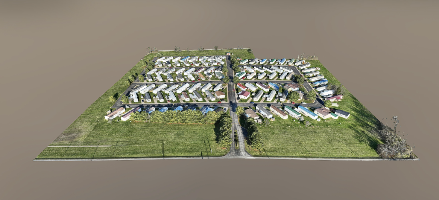
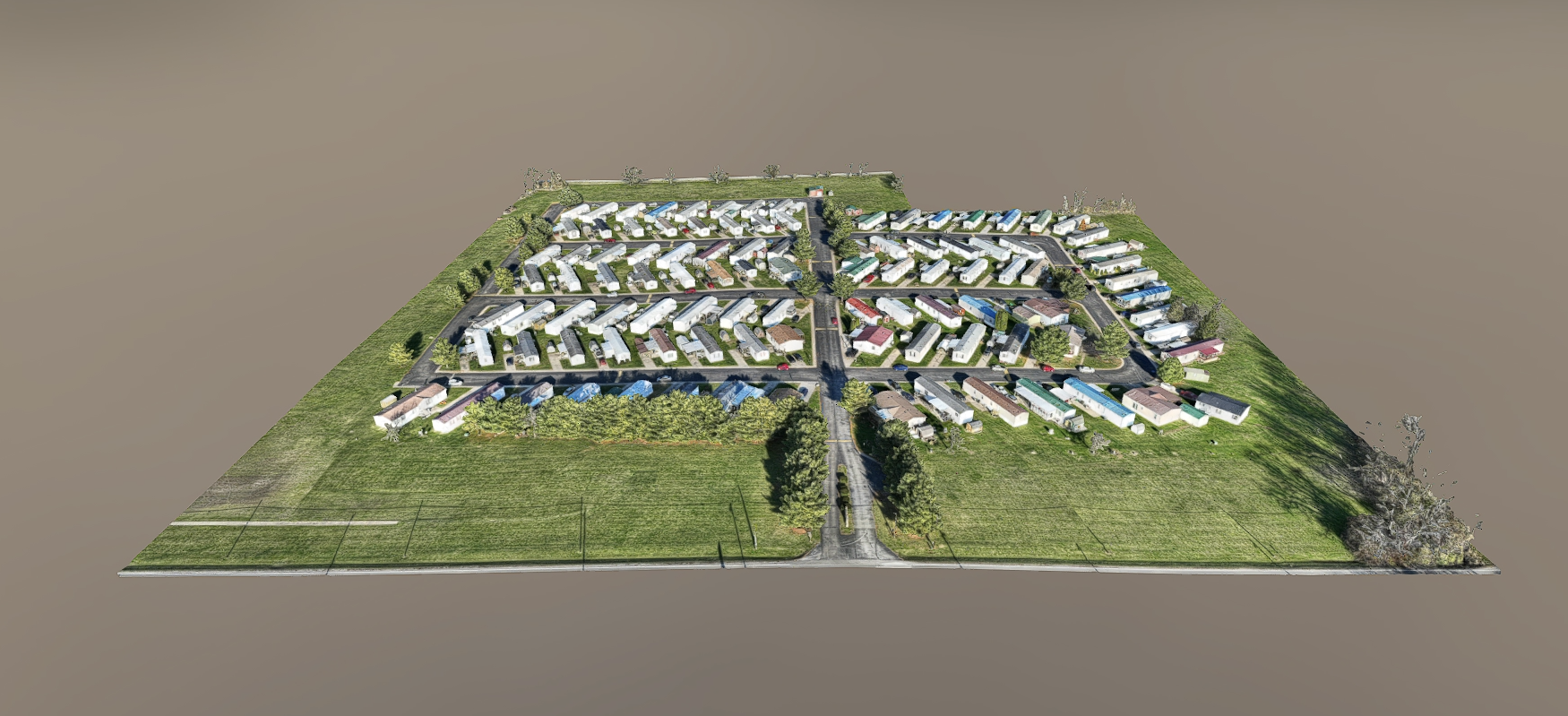
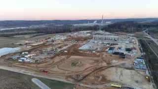
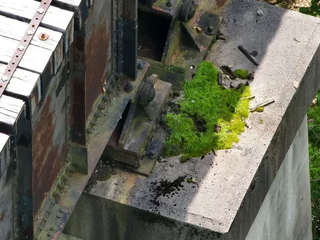
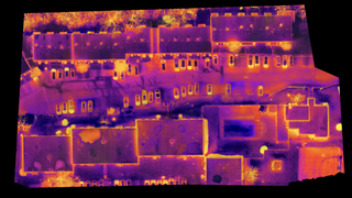
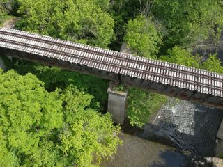
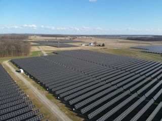
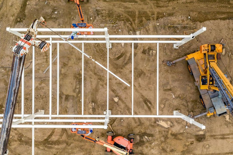
Aerial Data Solutions
We don’t just provide drone services. We deliver actionable aerial data that supports real-world outcomes.

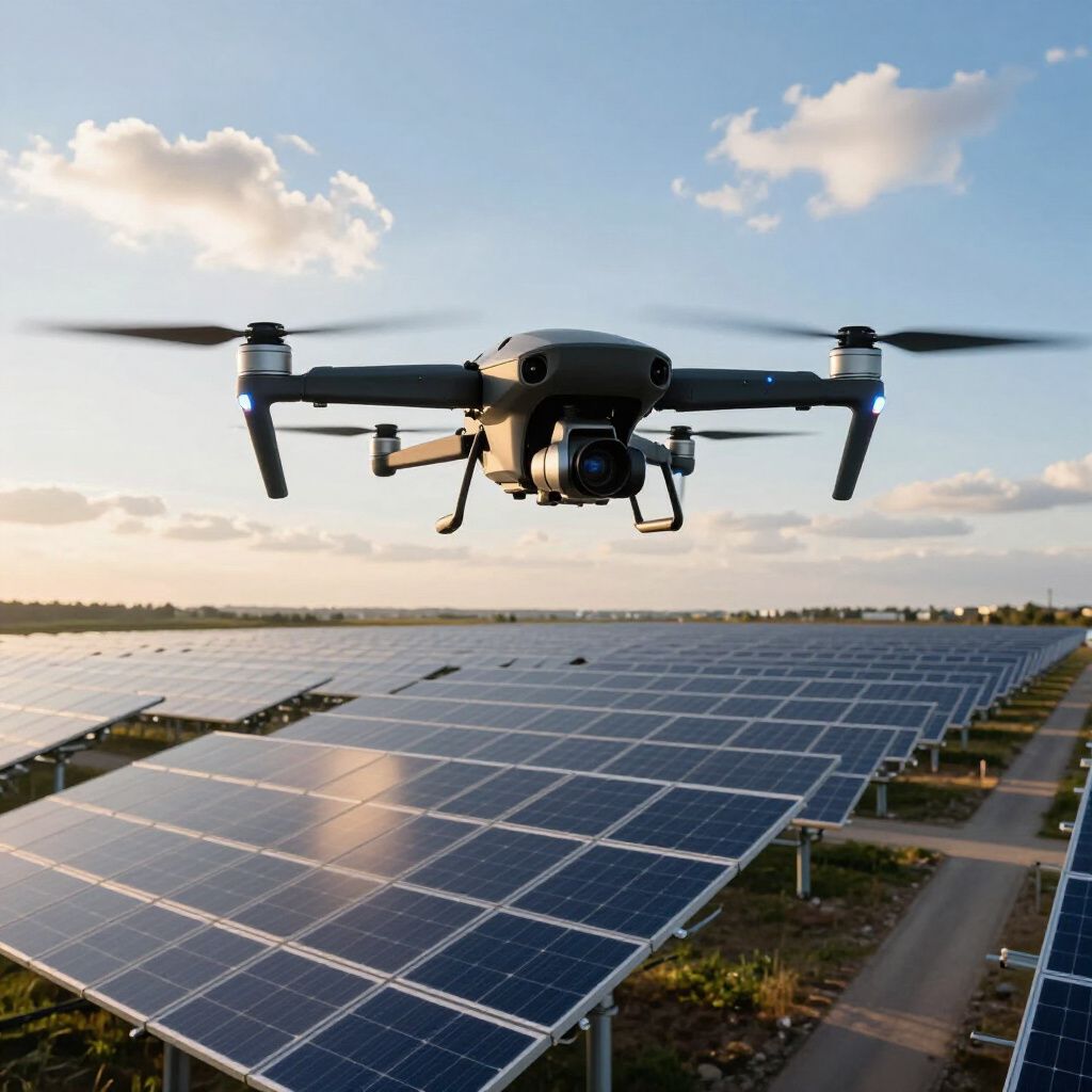
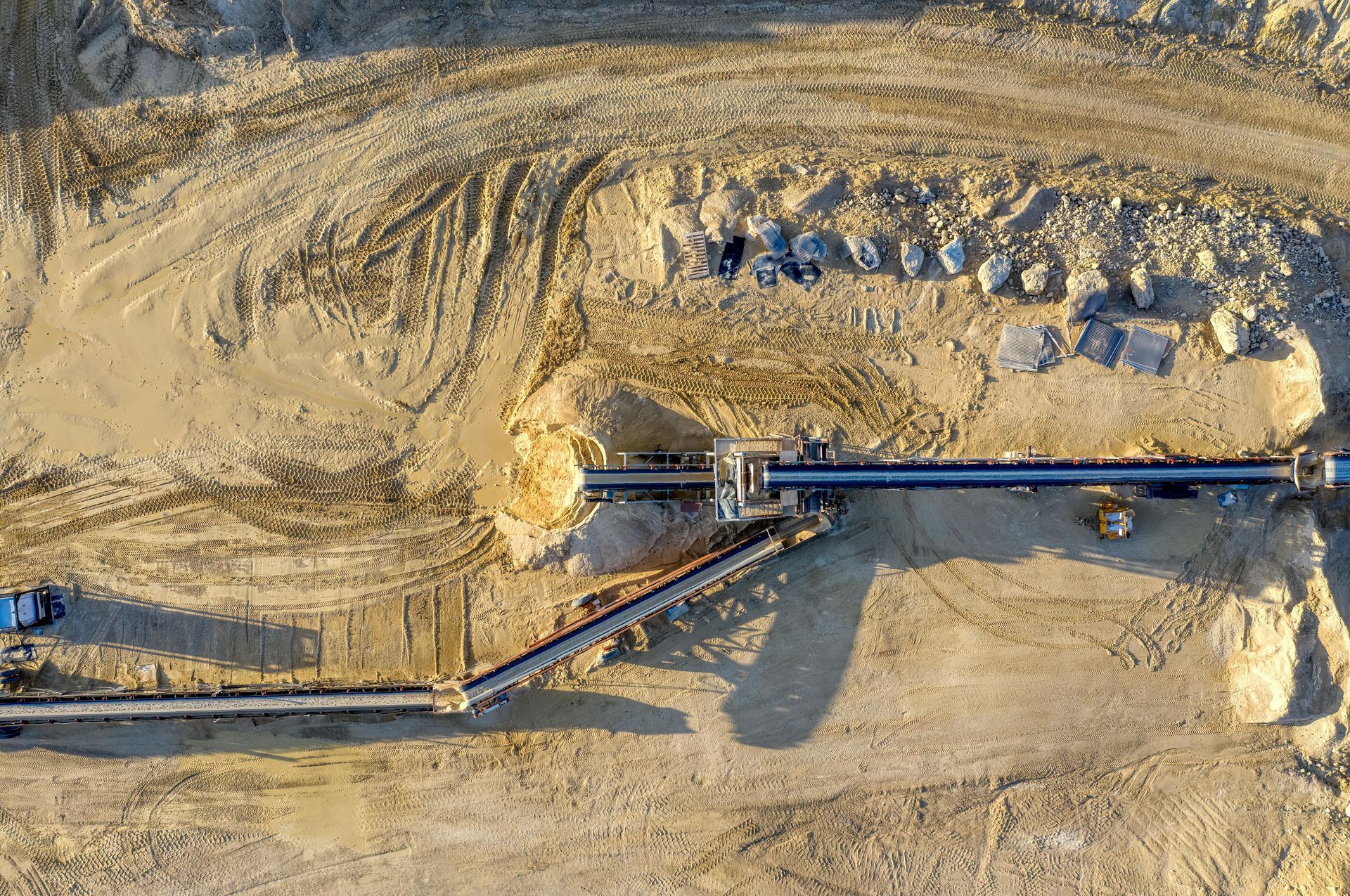
Sectors We Specialize In

Still Have Questions?
We're here to help! Whether you need more information about our aerial services or have specific inquiries, don't hesitate to reach out. Our team is ready to assist you with any questions you may have.
Request a Commercial Drone Services Quote Today
Contact us to speak directly with our team about inspections, mapping, and other drone services.