Services
Services
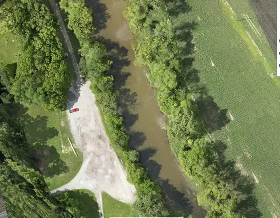
Aerial imaging plays a crucial role in planning, environmental monitoring, and disaster assessment. It provides valuable insights and data that support informed decision-making and effective management.
- Planning: Aerial imaging provides comprehensive aerial views and critical data for site analysis, which are essential for effective project planning, site surveys, and workflow optimization. By leveraging high-resolution images and precise data, 1st Choice Aerials helps you make informed decisions and streamline your project development.
- Environmental Monitoring: Drones capture detailed imagery for environmental assessments, allowing for accurate monitoring of vegetation, water bodies, and land use changes. This supports ecosystem management and ensures compliance with environmental regulations. Our advanced drone technology provides the data you need to protect and manage natural resources effectively.
- Disaster Assessment: In the aftermath of disasters, drones play a vital role in post-disaster assessment. They capture high-resolution imagery that aids in damage evaluation, search and rescue operations, and disaster recovery planning. With 1st Choice Aerials, you gain access to the critical information needed for efficient and effective disaster response and recovery efforts.
At 1st Choice Aerials, our expertise in aerial imaging empowers your planning, environmental monitoring, and disaster assessment efforts. Whether you need detailed site analysis, environmental data, or post-disaster imagery, our skilled pilots and cutting-edge technology deliver reliable and precise results across the United States.
We are committed to delivering superior quality images, ensuring clarity and eliminating any guesswork.


